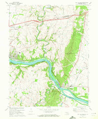
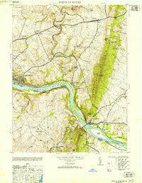
1970 Map of Point Of Rocks
USGS Topo · Published 1972About this map
The Potomac River forms the central artery of this region, marking the boundary between Maryland and Virginia as it flows past a network of historical transportation routes. Along its northern bank, the Chesapeake and Ohio Canal and the Baltimore and Ohio railroad corridor illustrate the industrial legacy of the river valley, connecting the rail yards at Brunswick to the crossing at Point of Rocks. The landscape is defined by the steep rise of Catoctin Mtn and Furnace Mountain, which overlook a series of small agricultural and milling communities.
Find a feature on this map
52 named features on this map. Tap any name to fly to it.
Don’t see what you’re looking for? This feature index may not catch every label — zoom into the map to look around manually.
Map Details
Editions of this 1970 Point Of Rocks Map
2 editions found
Historical Maps of Brunswick Through Time
12 maps found

1908 Ijamsville
Frederick County, MD
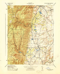
1944 Catoctin Furnace
Frederick County, MD
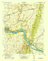
1944 Point Of Rocks
Frederick County, MD
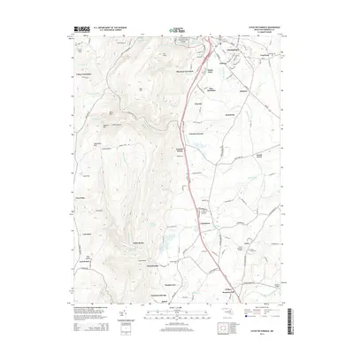
1953 Catoctin Furnace
Frederick County, MD
1953 Point Of Rocks
Frederick County, MD
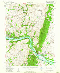
1955 Point Of Rocks
Frederick County, MD
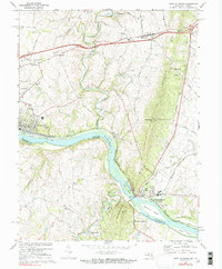
1970 Point Of Rocks
Frederick County, MD
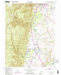
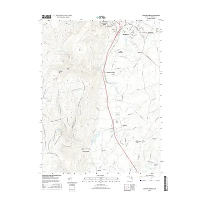
2011 Catoctin Furnace
Frederick County, MD
2014 Catoctin Furnace
Frederick County, MD
2016 Catoctin Furnace
Frederick County, MD
2019 Catoctin Furnace
Frederick County, MD
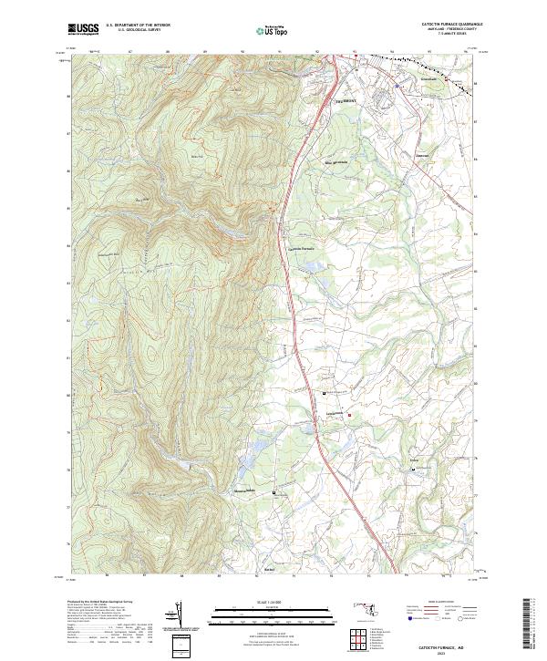
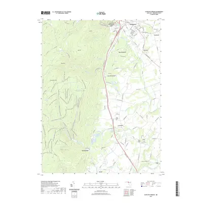
2023 Catoctin Furnace
Frederick County, MD