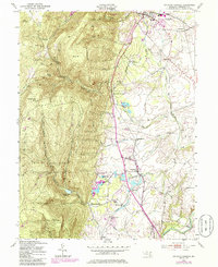
1953 Map of Catoctin Furnace
USGS Topo · Published 1985About this map
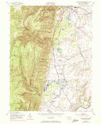
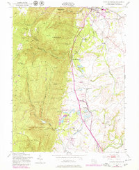
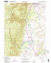
Catoctin Mountain dominates the western half of this Frederick County landscape, where the City of Frederick Municipal Forest and Cunningham Falls State Park preserve high ridges such as Bobs Hill and Black Rock. Below the steep slopes, the valley floor reveals a dense network of small settlements and agricultural infrastructure, notably the namesake Catoctin Furnace and the Lewistown State Fish Hatchery. Transport and industry are closely linked here, evidenced by several railroad stops including Lake View Sta and Locate Grove Sta that served the rural communities along Hunting Creek. The map records a transition toward modern land use with revisions showing expanded water features like the Fishing Creek Reservoir, while maintaining the locations of older community centers like Graceham, Utica, and the Philips Delight Sch.
Find a feature on this map
43 named features on this map. Tap any name to fly to it.
Don’t see what you’re looking for? This feature index may not catch every label — zoom into the map to look around manually.
Map Details
Editions of this 1953 Catoctin Furnace Map
7 editions found
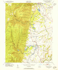
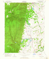
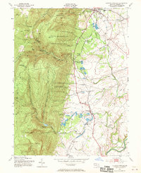
Other maps of this area

1884 · Harpers Ferry
USGS Topo · 1:125,000

1891 · Harpers Ferry
USGS Topo · 1:125,000

1893 · Frederick
USGS Topo · 1:125,000

1893 · Harpers Ferry
USGS Topo · 1:125,000

1894 · Frederick
USGS Topo · 1:125,000

1908 · Middletown
USGS Topo · 1:48,000

1908 · Ijamsville
USGS Topo · 1:62,500

1909 · Ijamsville
USGS Topo · 1:62,500

1909 · Hagerstown
USGS Topo · 1:48,000

1910 · Antietam
USGS Topo · 1:62,500