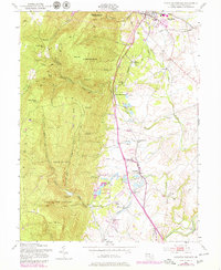
1953 Map of Catoctin Furnace
USGS Topo · Published 1979About this map
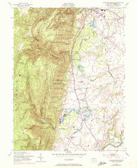
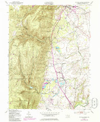
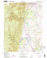
The eponymous Catoctin Furnace settlement anchors this landscape, where the steep wooded slopes of Catoctin Mountain meet the agricultural valleys of Frederick County. The terrain is defined by prominent peaks like Bobs Hill and High Knob, which dominate the western half of the map within the Cunningham Falls State Park and the City of Frederick Municipal Forest. To the north, the town of Thurmont serves as a local hub, situated where the Western Maryland railroad passes toward Graceham.
Find a feature on this map
58 named features on this map. Tap any name to fly to it.
Don’t see what you’re looking for? This feature index may not catch every label — zoom into the map to look around manually.
Map Details
Editions of this 1953 Catoctin Furnace Map
7 editions found
Other maps of this area

1884 · Harpers Ferry
USGS Topo · 1:125,000

1891 · Harpers Ferry
USGS Topo · 1:125,000

1893 · Frederick
USGS Topo · 1:125,000

1893 · Harpers Ferry
USGS Topo · 1:125,000

1894 · Frederick
USGS Topo · 1:125,000

1908 · Middletown
USGS Topo · 1:48,000

1908 · Ijamsville
USGS Topo · 1:62,500

1909 · Ijamsville
USGS Topo · 1:62,500

1909 · Hagerstown
USGS Topo · 1:48,000

1910 · Antietam
USGS Topo · 1:62,500