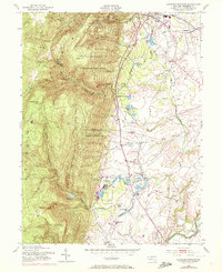
1953 Map of Catoctin Furnace
USGS Topo · Published 1972About this map
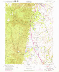
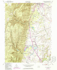
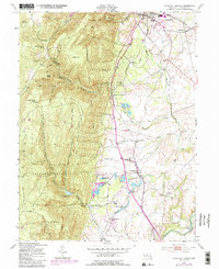
Catoctin Recreational Demonstration Area dominates the western half of this Frederick County landscape, where the ridges of Bobs Hill and Black Rock overlook the valley floor. The map documents a transition in land use, showing the protected forested heights alongside the industrial and agricultural heritage of the lowlands. Near the center, the settlement of Catoctin Furnace stands near numerous fish ponds and the Western Maryland railroad line. The eastern portion of the sheet is marked by a network of creeks, including Hunting Creek and Little Hunting Creek, which flow toward the Monocacy River. Local landmarks such as Devilbiss Bridge and several small rail stations like Lake View Sta and Creagerstown Sta illustrate the mid-century transportation and community infrastructure before the expansion of modern highways. This edition includes purple revisions from 1971, offering a layered view of development alongside older sites like Mt Prospect Ch.
Find a feature on this map
38 named features on this map. Tap any name to fly to it.
Don’t see what you’re looking for? This feature index may not catch every label — zoom into the map to look around manually.
Map Details
Editions of this 1953 Catoctin Furnace Map
7 editions found
Other maps of this area

1884 · Harpers Ferry
USGS Topo · 1:125,000

1891 · Harpers Ferry
USGS Topo · 1:125,000

1893 · Frederick
USGS Topo · 1:125,000

1893 · Harpers Ferry
USGS Topo · 1:125,000

1894 · Frederick
USGS Topo · 1:125,000

1908 · Middletown
USGS Topo · 1:48,000

1908 · Ijamsville
USGS Topo · 1:62,500

1909 · Ijamsville
USGS Topo · 1:62,500

1909 · Hagerstown
USGS Topo · 1:48,000

1910 · Antietam
USGS Topo · 1:62,500