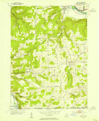
1953 Map of Caton
USGS Topo · Published 1955About this map
The Chemung River cuts through the northeast corner of this terrain, marking the industrial edge of South Corning where the Erie RR runs parallel to the water. Moving south into the heart of the quadrangle, the landscape transitions into a series of creek valleys and ridges defined by Whisky Creek and Caton Creek. This 1950s survey captures a rural network of small schoolhouses that served the upland farming communities, including Brees Sch, Honness Sch, and the Red Sch.
Find a feature on this map
40 named features on this map. Tap any name to fly to it.
Don’t see what you’re looking for? This feature index may not catch every label — zoom into the map to look around manually.
Map Details
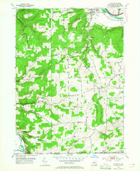
Editions of this 1953 Caton Map
2 editions found
Other maps of this area

1895 · Elmira
USGS Topo · 1:62,500

1900 · Tioga
USGS Topo · 1:62,500

1902 · Tioga
USGS Topo · 1:62,500

1905 · Watkins Glen
USGS Topo · 1:125,000

1914 · Corning
USGS Topo · 1:62,500

1931 · Troy
USGS Topo · 1:48,000

1938 · Troy
USGS Topo · 1:62,500

1944 · Corning
USGS Topo · 1:62,500

1950 · Elmira
USGS Topo · 1:250,000

1953 · Campbell
USGS Topo · 1:24,000