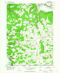
1953 Map of Caton
USGS Topo · Published 1965About this map
Chemung River and Cowanesque River anchor this mid-century portrait of the borderlands between Steuben County, New York, and Tioga County, Pennsylvania. The landscape is defined by its rural infrastructure, featuring a notable density of local educational institutions such as West Caton School No 7, Brees Sch, and Honness Sch. These school sites, along with family-named landmarks like Frenchs Mill and Tobey Sch, provide a clear view of the dispersed settlement patterns typical of the era.
Find a feature on this map
40 named features on this map. Tap any name to fly to it.
Don’t see what you’re looking for? This feature index may not catch every label — zoom into the map to look around manually.
Map Details
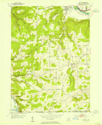
Editions of this 1953 Caton Map
2 editions found
Other maps of this area

1895 · Elmira
USGS Topo · 1:62,500

1900 · Tioga
USGS Topo · 1:62,500

1902 · Tioga
USGS Topo · 1:62,500

1905 · Watkins Glen
USGS Topo · 1:125,000

1914 · Corning
USGS Topo · 1:62,500

1931 · Troy
USGS Topo · 1:48,000

1938 · Troy
USGS Topo · 1:62,500

1944 · Corning
USGS Topo · 1:62,500

1950 · Elmira
USGS Topo · 1:250,000

1953 · Campbell
USGS Topo · 1:24,000