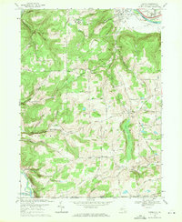
1969 Map of Caton
USGS Topo · Published 1971About this map
The Chemung River valley dominates the northern edge of this late-1960s survey, where industrial and suburban expansion near South Corning meets the rising terrain of the Allegheny Plateau. The landscape transition is marked by the presence of Corning Community College and the Corning Country Club, while the southern reaches of the map reflect a more dispersed agricultural character across Martin Hill and Barnard Hill.
Find a feature on this map
80 named features on this map. Tap any name to fly to it.
Don’t see what you’re looking for? This feature index may not catch every label — zoom into the map to look around manually.
Map Details
Editions of this 1969 Caton Map
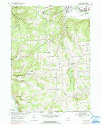
2 editions found
Other maps of this area

1895 · Elmira
USGS Topo · 1:62,500

1900 · Tioga
USGS Topo · 1:62,500

1902 · Tioga
USGS Topo · 1:62,500

1905 · Watkins Glen
USGS Topo · 1:125,000

1914 · Corning
USGS Topo · 1:62,500

1931 · Troy
USGS Topo · 1:48,000

1938 · Troy
USGS Topo · 1:62,500

1944 · Corning
USGS Topo · 1:62,500

1950 · Elmira
USGS Topo · 1:250,000

1953 · Campbell
USGS Topo · 1:24,000