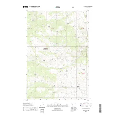
2020 Map of Cattle Gulch
USGS Topo · Published 2020About this map
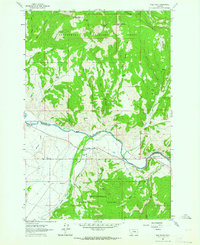
Beaverhead National Forest defines the western expanse of this high-altitude landscape, where the rugged topography drops toward the Big Hole River along the Silver Bow and Beaverhead county line. The settlement of Glendale sits at the southern edge near the confluence of Trapper Cr and the river, marking a historic point of habitation in a region otherwise dominated by complex drainage systems and named gulches. The terrain is characterized by sharp elevation changes, from the prominent Nez Perce Ridge and Ore Camp Hill to the deep recesses of Lockridge Canyon and Devils Hole. Water resources are abundant but isolated, including Cattle Gulch Lake, Trusty Lake, and several named springs such as Upper Cattle Gulch Spring. High-country plateaus like Sage Flat and Picketts Pasture offer a distinct contrast to the narrow corridors of Sawmill Gulch and Echo Gulch.
Find a feature on this map
44 named features on this map. Tap any name to fly to it.
Don’t see what you’re looking for? This feature index may not catch every label — zoom into the map to look around manually.
Map Details
Editions of this 2020 Cattle Gulch Map
This is the sole edition of this map. No revisions or reprints were ever made.
Other maps of this area
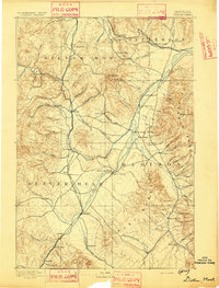
1893 · Dillon
USGS Topo · 1:250,000

1955 · Dillon
USGS Topo · 1:250,000

1957 · Dillon
USGS Topo · 1:250,000
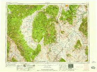
1958 · Dillon
USGS Topo · 1:250,000
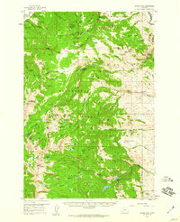
1958 · Vipond Park
USGS Topo · 1:62,500
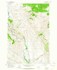
1961 · Melrose
USGS Topo · 1:24,000
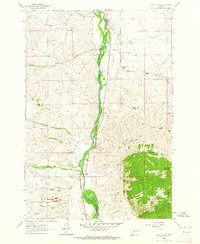
1961 · Earls Gulch
USGS Topo · 1:24,000
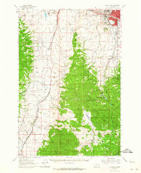
1961 · Butte South
USGS Topo · 1:62,500
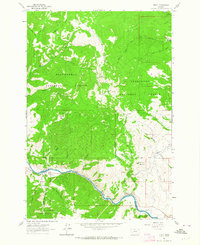
1961 · Dewey
USGS Topo · 1:24,000
1961 · Wise River
USGS Topo · 1:24,000