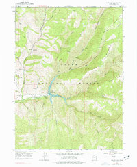
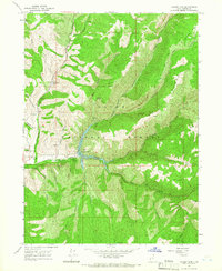
1964 Map of Causey Dam
USGS Topo · Published 1977About this map
Causey Reservoir serves as the focal point of this mountainous landscape within the Cache National Forest, where the South Fork Ogden River is impounded by the Causey Dam. The topography is defined by a series of steep drainages including Dry Bread Hollow and Wheat Grass Canyon, which feed into the reservoir from the surrounding highlands. This mid-1960s survey captures the area as a developed recreational and ranching hub, featuring established sites such as Camp Kiesel, Camp Red Cliff, and the Red Rock Ranch.
Find a feature on this map
41 named features on this map. Tap any name to fly to it.
Don’t see what you’re looking for? This feature index may not catch every label — zoom into the map to look around manually.
Map Details
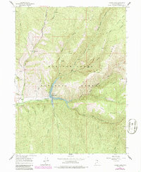
Editions of this 1964 Causey Dam Map
3 editions found
Other maps of this area

1954 · Ogden
USGS Topo · 1:250,000

1958 · Ogden
USGS Topo · 1:250,000

1960 · Ogden
USGS Topo · 1:250,000

1961 · Morgan
USGS Topo · 1:62,500

1964 · Lost Creek Dam
USGS Topo · 1:24,000

1964 · Monte Cristo PK
USGS Topo · 1:24,000
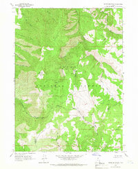
1964 · Sharp Mountain
USGS Topo · 1:24,000
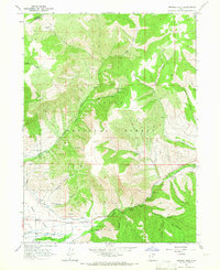
1964 · Browns Hole
USGS Topo · 1:24,000
1964 · Causey Dam
USGS Topo · 1:24,000

1968 · Horse Ridge
USGS Topo · 1:24,000