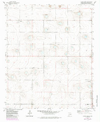
1972 Map of Causey West
USGS Topo · Published 1985About this map
The high plains of Roosevelt County meet the Texas State Line in this 1970s landscape, characterized by isolated ranching communities and a reliance on underground water sources. Small settlements like Rogers and Inez are scattered across the terrain, while the larger community of Causey anchors the southeastern corner of the quadrangle. A network of numerous wells and several gravel pits underscore the region's agricultural and industrial character. For those tracing local history or family ties, Longs Cem provides a specific point of reference in an area defined by wide-open spaces and a grid of rural fences. The mapping also highlights the subtle topography of the Llano Estacado, where minor depressions and drainage patterns influenced the placement of early homesteads and water access points.
Find a feature on this map
8 named features on this map. Tap any name to fly to it.
Don’t see what you’re looking for? This feature index may not catch every label — zoom into the map to look around manually.
Map Details
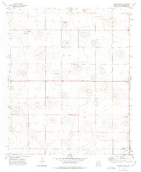
Editions of this 1972 Causey West Map
2 editions found
Other maps of this area

1954 · Clovis
USGS Topo · 1:250,000

1954 · Brownfield
USGS Topo · 1:250,000

1957 · Arch
USGS Topo · 1:62,500

1957 · Portales
USGS Topo · 1:62,500

1958 · Brownfield
USGS Topo · 1:250,000

1958 · Clovis
USGS Topo · 1:250,000

1962 · Brownfield
USGS Topo · 1:250,000

1970 · Lingo
USGS Topo · 1:24,000

1970 · Causey East
USGS Topo · 1:24,000

1972 · Garrison
USGS Topo · 1:24,000