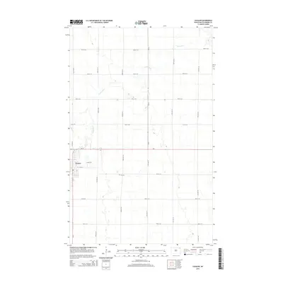
2014 Map of Cavalier
USGS Topo · Published 2014About this map
The Cavalier townsite serves as the primary hub of this Red River Valley landscape, positioned where the Tongue River meanders through the flat agricultural plains of Pembina County. The map reveals a highly structured section-line road network typical of the region's homesteading history, with routes like Nd-18 and Nd-5 intersecting near the town's western edge. Rural life outside the central settlement is anchored by local landmarks such as Zion Cem, while the town itself features a Po and a distinct residential layout including Spruce Ln and Main St E. The drainage patterns of the Tongue River provide a stark contrast to the rigid geometry of the surrounding farmland, illustrating how natural waterways continue to influence land use and settlement placement in the northeastern corner of North Dakota.
Find a feature on this map
22 named features on this map. Tap any name to fly to it.
Don’t see what you’re looking for? This feature index may not catch every label — zoom into the map to look around manually.
Map Details
Editions of this 2014 Cavalier Map
This is the sole edition of this map. No revisions or reprints were ever made.
Other maps of this area

1939 · Glasston
USGS Topo · 1:62,500

1939 · Cavalier
USGS Topo · 1:62,500

1941 · Glasston
USGS Topo · 1:62,500

1941 · Cavalier
USGS Topo · 1:62,500

1941 · Bathgate
USGS Topo · 1:62,500

1944 · Crystal
USGS Topo · 1:62,500

1952 · Thief River Falls
USGS Topo · 1:250,000

1956 · Thief River Falls
USGS Topo · 1:250,000

1957 · Thief River Falls
USGS Topo · 1:250,000
1964 · Hensel
USGS Topo · 1:24,000