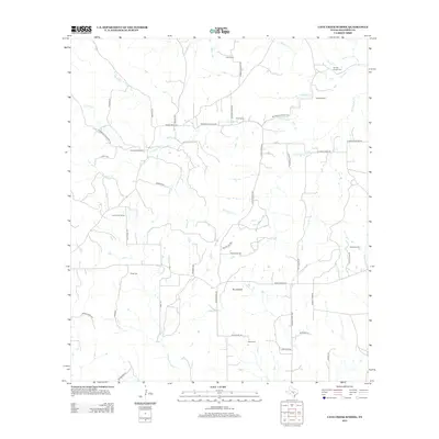
2012 Map of Cave Creek School
USGS Topo · Published 2012About this map
Cave Creek School stands as a central landmark in this rural pocket of Gillespie County, serving as a focal point for a landscape defined by generational family ranching. The terrain is marked by the winding courses of N Grape Cr and Cave Cr, which dictate the placement of ranch houses and rural lanes like Rheingold School Rd and Klein Ahrens Rd. Local history is anchored by family names on the land, including the Koennecke Ranch, Rusk Ranch, and Ahrens Ranch. Genealogists will find interest in the documented burial sites at Youngs Chapel Cem and Rode Cem. The presence of landmarks like Roundhead and the network of ranch roads reflects a modern continuation of traditional Texas Hill Country land use, where water sources like Dry Hollow Cr remain vital to the local economy and settlement pattern.
Find a feature on this map
46 named features on this map. Tap any name to fly to it.
Don’t see what you’re looking for? This feature index may not catch every label — zoom into the map to look around manually.
Map Details
Editions of this 2012 Cave Creek School Map
This is the sole edition of this map. No revisions or reprints were ever made.
Other maps of this area

1894 · Fredericksburg
USGS Topo · 1:125,000

1954 · Llano
USGS Topo · 1:250,000

1955 · Llano
USGS Topo · 1:250,000

1956 · Llano
USGS Topo · 1:250,000

1961 · Stonewall
USGS Topo · 1:24,000

1961 · Hye
USGS Topo · 1:24,000

1961 · Cave Creek School
USGS Topo · 1:24,000

1961 · Rocky Creek
USGS Topo · 1:24,000

1963 · Cain City
USGS Topo · 1:24,000

1967 · Fredericksburg East
USGS Topo · 1:24,000