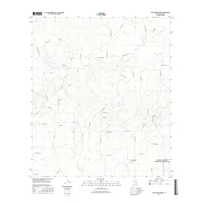
2016 Map of Cave Creek School
USGS Topo · Published 2016About this map
Cave Creek School stands as a central landmark in this portion of Gillespie County, serving a rural landscape defined by deep-rooted family ranches and winding waterways. The terrain is shaped by the drainage of North Grape Creek and Dry Hollow Cr, with the prominent elevation of Roundhead rising above the surrounding draws. This modern survey captures the enduring rural character of the Texas Hill Country, where narrow ranch roads such as Ranch Rd 1631 and Ranch Rd 2721 connect isolated homesteads and local landmarks. To the southeast, the map includes a portion of the Lyndon B. Johnson National Historical Park near Stonewall, marking the intersection of local history with national significance. Smaller community sites like Youngs Chapel and the Rode Cem provide essential touchpoints for genealogical research in this sparsely settled region.
Find a feature on this map
56 named features on this map. Tap any name to fly to it.
Don’t see what you’re looking for? This feature index may not catch every label — zoom into the map to look around manually.
Map Details
Editions of this 2016 Cave Creek School Map
This is the sole edition of this map. No revisions or reprints were ever made.
Other maps of this area

1894 · Fredericksburg
USGS Topo · 1:125,000

1954 · Llano
USGS Topo · 1:250,000

1955 · Llano
USGS Topo · 1:250,000

1956 · Llano
USGS Topo · 1:250,000

1961 · Stonewall
USGS Topo · 1:24,000

1961 · Hye
USGS Topo · 1:24,000

1961 · Cave Creek School
USGS Topo · 1:24,000

1961 · Rocky Creek
USGS Topo · 1:24,000

1963 · Cain City
USGS Topo · 1:24,000

1967 · Fredericksburg East
USGS Topo · 1:24,000