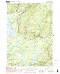
1989 Map of Cave Falls
USGS Topo · Published 1989About this map
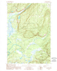
The Bechler River and Falls River converge within this high-elevation wilderness, marking the intersection of Yellowstone National Park, Targhee National Forest, and the Winegar Hole Wilderness. The landscape is defined by its dramatic hydrology, featuring a high concentration of cataracts such as Iris Falls, Colonnade Falls, Ouzel Falls, and Cave Falls near the park's southern boundary. The broad expanse of Bechler Meadows dominates the western portion of the sheet, providing a stark contrast to the rising slopes of the Pitchstone Plateau to the northeast. Traces of historical backcountry travel are evident in the South Boundary Trail and several pack trails that navigate around Winegar Lake and Fish Lake, documenting the area's role as a protected wilderness at the close of the 1980s.
Find a feature on this map
33 named features on this map. Tap any name to fly to it.
Don’t see what you’re looking for? This feature index may not catch every label — zoom into the map to look around manually.
Map Details
Editions of this 1989 Cave Falls Map
2 editions found
Other maps of this area

1886 · Shoshone
USGS Topo · 1:125,000

1888 · Shoshone
USGS Topo · 1:125,000

1895 · Shoshone
USGS Topo · 1:125,000

1901 · Shoshone
USGS Topo · 1:125,000

1908 · Shoshone
USGS Topo · 1:125,000

1911 · Shoshone
USGS Topo · 1:125,000

1955 · Ashton
USGS Topo · 1:250,000

1956 · Old Faithful
USGS Topo · 1:62,500

1956 · Grassy Lake Reservoir
USGS Topo · 1:62,500

1957 · Warm River Butte
USGS Topo · 1:62,500