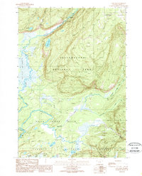
1989 Map of Cave Falls
USGS Topo · Published 1989About this map
Yellowstone National Park and the adjacent Targhee National Forest meet in this 1989 survey of the remote southwestern corner of the park. The landscape is defined by the convergence of the Bechler River and Falls River, where the terrain drops over numerous named cataracts including Ouzel Falls, Colonnade Falls, and Iris Falls. The expansive Bechler Meadows dominate the west-central portion of the map, providing a contrast to the high, wooded rises of the Pitchstone Plateau in the northeast. This edition documents a complex hydrological system characterized by thermal activity near Bechler River, where a Thermal Area is noted along the water's edge. South of the park boundary, the Winegar Hole Wilderness preserves the drainages around Winegar Lake and Fish Lake, linked by the South Boundary Trail.
Find a feature on this map
32 named features on this map. Tap any name to fly to it.
Don’t see what you’re looking for? This feature index may not catch every label — zoom into the map to look around manually.
Map Details
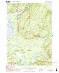
Editions of this 1989 Cave Falls Map
2 editions found
Other maps of this area

1886 · Shoshone
USGS Topo · 1:125,000

1888 · Shoshone
USGS Topo · 1:125,000

1895 · Shoshone
USGS Topo · 1:125,000

1901 · Shoshone
USGS Topo · 1:125,000

1908 · Shoshone
USGS Topo · 1:125,000

1911 · Shoshone
USGS Topo · 1:125,000

1955 · Ashton
USGS Topo · 1:250,000

1956 · Old Faithful
USGS Topo · 1:62,500

1956 · Grassy Lake Reservoir
USGS Topo · 1:62,500

1957 · Warm River Butte
USGS Topo · 1:62,500