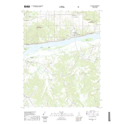
2021 Map of Cave-in-Rock
USGS Topo · Published 2021About this map
Cave-In-Rock serves as a historic riverfront anchor where the Ohio River forms the state boundary between Illinois and Kentucky. This 2021 survey details a landscape defined by the river's influence, from the bluffs of Barker Bluff and the timbered reaches of the Shawnee National Forest to the braided channels surrounding Cave in Rock Island and McKinley Island. The Kentucky side reveals a dense network of local roads such as Aunt Jane Tabernacle Rd and Earl Arflack Rd, connecting small settlements like Tolu and Irma. For genealogists, the map is a primary resource for locating family burial sites, including the Cook Graveyard, Underdown Cemetery, and the Peters Creek Cemetery. The topography transitions from the alluvial bottomlands of Walker Bar to the higher elevations of Cyclone Hill, illustrating the enduring spatial relationship between these rural communities and the shifting river economy.
Find a feature on this map
68 named features on this map. Tap any name to fly to it.
Don’t see what you’re looking for? This feature index may not catch every label — zoom into the map to look around manually.
Map Details
Editions of this 2021 Cave-in-Rock Map
This is the sole edition of this map. No revisions or reprints were ever made.
Other maps of this area

1916 · Shawneetown
USGS Topo · 1:62,500

1916 · Fords Ferry
USGS Topo · 1:62,500

1916 · Golconda
USGS Topo · 1:62,500

1916 · Equality
USGS Topo · 1:62,500

1920 · Goloonda
USGS Topo · 1:48,000

1921 · Fords Ferry
USGS Topo · 1:48,000

1921 · Golconda
USGS Topo · 1:62,500

1925 · Cave In Rock
USGS Topo · 1:62,500

1949 · Paducah
USGS Topo · 1:250,000

1950 · Paducah
USGS Topo · 1:250,000