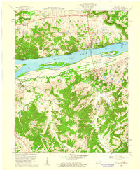
1958 Map of Cave In Rock
USGS Topo · Published 1960About this map
Cave in Rock sits prominently along the northern bank of the Ohio River, serving as a focal point where the Illinois and Kentucky border is defined by the low waterline of 1912. The landscape is a study in river-dependent geography, characterized by the Cave in Rock Ferry crossing and the presence of several large islands, including Mc Kinley Island and Cave in Rock Island. On the Illinois side, the Shawnee National Forest covers much of the uplands, which are punctuated by industrial sites like the Alco Mine and Rigsby Quarry. Across the water in Kentucky, the terrain becomes increasingly dissected by waterways such as Hurricane Creek and Caney Fork. Local history is preserved through scattered rural landmarks like Dunn Spring Ch, Hebron Sch, and family-named burial grounds like Beaver Cem, reflecting a mid-century community tied to the land and the river's edge.
Find a feature on this map
34 named features on this map. Tap any name to fly to it.
Don’t see what you’re looking for? This feature index may not catch every label — zoom into the map to look around manually.
Map Details
Editions of this 1958 Cave In Rock Map
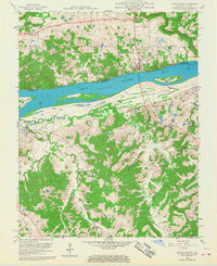
2 editions found
Other maps of this area

1916 · Shawneetown
USGS Topo · 1:62,500

1916 · Fords Ferry
USGS Topo · 1:62,500

1916 · Golconda
USGS Topo · 1:62,500

1916 · Equality
USGS Topo · 1:62,500

1920 · Goloonda
USGS Topo · 1:48,000

1921 · Fords Ferry
USGS Topo · 1:48,000

1921 · Golconda
USGS Topo · 1:62,500

1925 · Cave In Rock
USGS Topo · 1:62,500

1949 · Paducah
USGS Topo · 1:250,000

1950 · Paducah
USGS Topo · 1:250,000