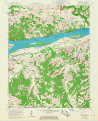
1958 Map of Cave In Rock
USGS Topo · Published 1968About this map
Ohio River river traffic and industrial extraction define this mid-century borderland between Illinois and Kentucky. The northern bank is dominated by the Shawnee National Forest and the namesake Cave in Rock, while the Kentucky side across from Mc Kinley Island shows a landscape deeply shaped by mining activities, including the Alco Mine and the Memphis Prospect Area. This survey reflects a period when rural schoolhouses like Peters Creek Sch and Hebron Sch still anchored local communities alongside country churches such as Dunn Spring Ch.
Find a feature on this map
47 named features on this map. Tap any name to fly to it.
Don’t see what you’re looking for? This feature index may not catch every label — zoom into the map to look around manually.
Map Details
Editions of this 1958 Cave In Rock Map
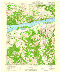
2 editions found
Other maps of this area

1916 · Shawneetown
USGS Topo · 1:62,500

1916 · Fords Ferry
USGS Topo · 1:62,500

1916 · Golconda
USGS Topo · 1:62,500

1916 · Equality
USGS Topo · 1:62,500

1920 · Goloonda
USGS Topo · 1:48,000

1921 · Fords Ferry
USGS Topo · 1:48,000

1921 · Golconda
USGS Topo · 1:62,500

1925 · Cave In Rock
USGS Topo · 1:62,500

1949 · Paducah
USGS Topo · 1:250,000

1950 · Paducah
USGS Topo · 1:250,000