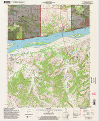
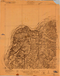
1996 Map of Cave-In-Rock
USGS Topo · Published 1998About this map
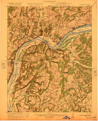
The Ohio River serves as the central artery for this borderland where Illinois meets Kentucky during the mid-1990s. On the northern bank, Cave-In-Rock serves as a focal point near its namesake Cave-In-Rock State Park, while the historic Cave In Rock Ferry maintains a vital cross-river connection to the Kentucky side near Tolu. The landscape is defined by the high bluffs of the Shawnee National Forest, punctuated by active and legacy industrial sites including the Alcoa Mine, a Strip Mine, and the Rigsby Quarry.
Find a feature on this map
51 named features on this map. Tap any name to fly to it.
Don’t see what you’re looking for? This feature index may not catch every label — zoom into the map to look around manually.
Map Details
Editions of this 1996 Cave-In-Rock Map
This is the sole edition of this map. No revisions or reprints were ever made.
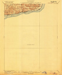
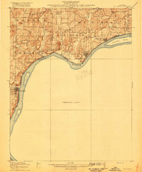
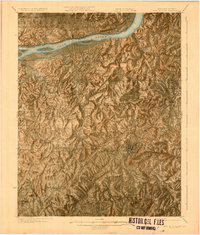
Other maps of this area

1916 · Shawneetown
USGS Topo · 1:62,500
1916 · Fords Ferry
USGS Topo · 1:62,500
1916 · Golconda
USGS Topo · 1:62,500
1916 · Equality
USGS Topo · 1:62,500
1920 · Goloonda
USGS Topo · 1:48,000

1921 · Fords Ferry
USGS Topo · 1:48,000
1921 · Golconda
USGS Topo · 1:62,500
1925 · Cave In Rock
USGS Topo · 1:62,500

1949 · Paducah
USGS Topo · 1:250,000

1950 · Paducah
USGS Topo · 1:250,000