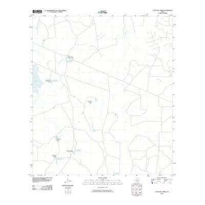
2010 Map of Cayetano Creek
USGS Topo · Published 2010About this map
Farias Ranch Lake Number 2 and a network of livestock or irrigation reservoirs define the drainage patterns of this South Texas landscape. The hydrological systems shown here are heavily managed, evidenced by numerous structures such as the Farias Ranch Lake Number 3 Dam and Farias Lake Number 7 Dam. These dams control the flow of local waterways including Comanche Creek and Cayetano Creek, which meander through a region dominated by ranching infrastructure and rural access roads. The prevalence of named water bodies like Farias Lake Number 5 and Farias Ranch Lake Number 4 suggests a concentrated effort to harness intermittent water sources in a typically arid environment. Further east, Pendencia Creek and Rocky Creek cut through the terrain, illustrating the natural watershed that supports the surrounding land use and ranch operations near the turn of the decade.
Find a feature on this map
16 named features on this map. Tap any name to fly to it.
Don’t see what you’re looking for? This feature index may not catch every label — zoom into the map to look around manually.
Map Details
Editions of this 2010 Cayetano Creek Map
This is the sole edition of this map. No revisions or reprints were ever made.
Other maps of this area

1929 · Cotulla
USGS Topo · 1:125,000

1939 · Carrizo Springs
USGS Topo · 1:62,500

1940 · Asherton
USGS Topo · 1:62,500

1940 · Cometa
USGS Topo · 1:62,500

1941 · Botella Creek
USGS Topo · 1:62,500

1953 · Crystal City
USGS Topo · 1:250,000

1955 · Crystal City
USGS Topo · 1:250,000

1957 · Botella Creek
USGS Topo · 1:62,500

1958 · Eagle Pass
USGS Topo · 1:250,000

1961 · Crystal City
USGS Topo · 1:250,000