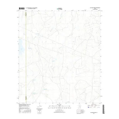
2016 Map of Cayetano Creek
USGS Topo · Published 2016About this map
The boundary between Maverick Co and Dimmit Co runs through this South Texas landscape, where water management is the defining feature of the local ranching economy. A series of numbered reservoirs and tanks are distributed across the terrain, notably associated with the Farias family name. These include Farias Lake Number 7 and several numbered ranch lakes such as Farias Ranch Lake Number 2 and Farias Ranch Lake Number 4.
Find a feature on this map
18 named features on this map. Tap any name to fly to it.
Don’t see what you’re looking for? This feature index may not catch every label — zoom into the map to look around manually.
Map Details
Editions of this 2016 Cayetano Creek Map
This is the sole edition of this map. No revisions or reprints were ever made.
Other maps of this area

1929 · Cotulla
USGS Topo · 1:125,000

1939 · Carrizo Springs
USGS Topo · 1:62,500

1940 · Asherton
USGS Topo · 1:62,500

1940 · Cometa
USGS Topo · 1:62,500

1941 · Botella Creek
USGS Topo · 1:62,500

1953 · Crystal City
USGS Topo · 1:250,000

1955 · Crystal City
USGS Topo · 1:250,000

1957 · Botella Creek
USGS Topo · 1:62,500

1958 · Eagle Pass
USGS Topo · 1:250,000

1961 · Crystal City
USGS Topo · 1:250,000