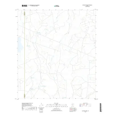
2019 Map of Cayetano Creek
USGS Topo · Published 2019About this map
The Maverick County and Dimmit County line defines the western edge of this landscape, marking a remote ranching corridor in South Texas. Water management is the central theme of the terrain, visible through a series of numbered reservoirs including Farias Ranch Lake Number 2, Farias Ranch Lake Number 3, and Farias Lake. These water bodies are fed by a network of intermittent drainages like Cayetano Creek and Pendencia Creek, which are critical to the livestock operations in this arid region. The map reveals the infrastructure of large-scale landholdings, where fence lines and ranch roads navigate the draws and low ridges. To the east, Rocky Creek and Comanche Creek underscore the sparse but essential natural hydrology that has dictated land use and property boundaries for generations of Texas ranchers.
Find a feature on this map
11 named features on this map. Tap any name to fly to it.
Don’t see what you’re looking for? This feature index may not catch every label — zoom into the map to look around manually.
Map Details
Editions of this 2019 Cayetano Creek Map
This is the sole edition of this map. No revisions or reprints were ever made.
Other maps of this area

1929 · Cotulla
USGS Topo · 1:125,000

1939 · Carrizo Springs
USGS Topo · 1:62,500

1940 · Asherton
USGS Topo · 1:62,500

1940 · Cometa
USGS Topo · 1:62,500

1941 · Botella Creek
USGS Topo · 1:62,500

1953 · Crystal City
USGS Topo · 1:250,000

1955 · Crystal City
USGS Topo · 1:250,000

1957 · Botella Creek
USGS Topo · 1:62,500

1958 · Eagle Pass
USGS Topo · 1:250,000

1961 · Crystal City
USGS Topo · 1:250,000