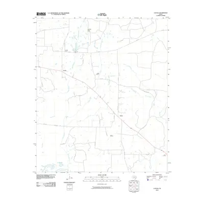
2010 Map of Cayuga
USGS Topo · Published 2010About this map
Cayuga and Bethel anchor this rural landscape in Anderson County, where the terrain is defined by a complex network of creeks and man-made water features. The hydrology is dominated by Catfish Creek on the eastern edge and the sprawling Saline Branch to the southwest, while the northern section is marked by Cox Lake, held by the Cox Lake Dam. The presence of the Cayuga School and several family or community burial grounds, such as Judson Cemetery, Jackson Cemetery, and Shaw Cemetery, provides a clear view of the established social fabric in this part of East Texas.
Find a feature on this map
37 named features on this map. Tap any name to fly to it.
Don’t see what you’re looking for? This feature index may not catch every label — zoom into the map to look around manually.
Map Details
Editions of this 2010 Cayuga Map
This is the sole edition of this map. No revisions or reprints were ever made.
Other maps of this area

1949 · Athens
USGS Topo · 1:62,500

1949 · Tennessee Colony
USGS Topo · 1:62,500

1950 · Athens
USGS Topo · 1:62,500

1950 · Tennessee Colony
USGS Topo · 1:62,500

1953 · Palestine
USGS Topo · 1:250,000

1954 · Dallas
USGS Topo · 1:250,000

1954 · Waco
USGS Topo · 1:250,000

1955 · Waco
USGS Topo · 1:250,000

1956 · Tyler
USGS Topo · 1:250,000

1957 · Palestine
USGS Topo · 1:250,000