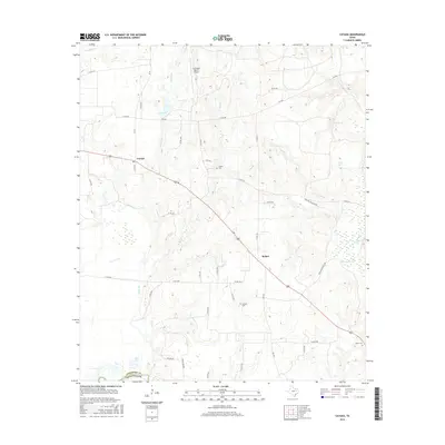
2016 Map of Cayuga
USGS Topo · Published 2016About this map
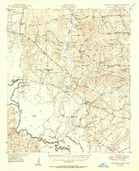
The Trinity River defines the southwestern edge of this East Texas terrain, where the boundary between Anderson Co and Freestone County follows the water's course. This rural landscape is anchored by the communities of Cayuga and Bethel, connected by the diagonal route of US Highway 287. Local history is preserved in several small burial grounds scattered across the countryside, including Judson Cem, Jackson Cem, and Shaw Cem.
Find a feature on this map
48 named features on this map. Tap any name to fly to it.
Don’t see what you’re looking for? This feature index may not catch every label — zoom into the map to look around manually.
Map Details
Editions of this 2016 Cayuga Map
This is the sole edition of this map. No revisions or reprints were ever made.
Other maps of this area
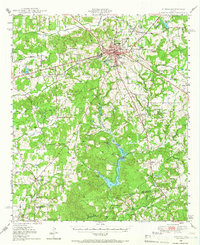
1949 · Athens
USGS Topo · 1:62,500
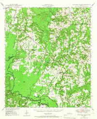
1949 · Tennessee Colony
USGS Topo · 1:62,500
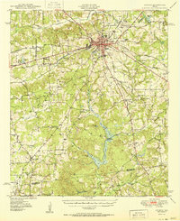
1950 · Athens
USGS Topo · 1:62,500
1950 · Tennessee Colony
USGS Topo · 1:62,500

1953 · Palestine
USGS Topo · 1:250,000

1954 · Dallas
USGS Topo · 1:250,000

1954 · Waco
USGS Topo · 1:250,000

1955 · Waco
USGS Topo · 1:250,000

1956 · Tyler
USGS Topo · 1:250,000

1957 · Palestine
USGS Topo · 1:250,000