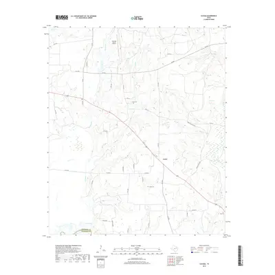
2019 Map of Cayuga
USGS Topo · Published 2019About this map
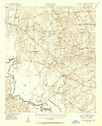
Bethel sits at a crossroads in southwestern Anderson County, surrounded by a complex network of creeks and small tributaries feeding into the Trinity River. This landscape is defined by its rural transit corridors and water-carved terrain, where numerous branches like Mitchell Branch, Bee Branch, and Skeet Branch weave toward larger bodies like Catfish Creek. The map records significant family and local heritage sites, including the Judson Cemetery and Jackson Cemetery, which remain anchored in the countryside. The presence of the Lochridge Ranch Airport in the north and the nearby Duck Lake illustrates the blend of private land use and natural hydrology typical of the region near the Freestone County line. Long-standing local routes, such as FM 2961 and Engling Wildlife Road, provide the primary structure for this agricultural and wildlife-focused area.
Find a feature on this map
47 named features on this map. Tap any name to fly to it.
Don’t see what you’re looking for? This feature index may not catch every label — zoom into the map to look around manually.
Map Details
Editions of this 2019 Cayuga Map
This is the sole edition of this map. No revisions or reprints were ever made.
Other maps of this area
1949 · Athens
USGS Topo · 1:62,500
1949 · Tennessee Colony
USGS Topo · 1:62,500
1950 · Athens
USGS Topo · 1:62,500
1950 · Tennessee Colony
USGS Topo · 1:62,500

1953 · Palestine
USGS Topo · 1:250,000

1954 · Dallas
USGS Topo · 1:250,000

1954 · Waco
USGS Topo · 1:250,000

1955 · Waco
USGS Topo · 1:250,000

1956 · Tyler
USGS Topo · 1:250,000

1957 · Palestine
USGS Topo · 1:250,000