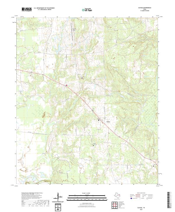
2022 Map of Cayuga
USGS Topo · Published 2022About this map
Bethel serves as a central point in this rural landscape near the border of Anderson Co and Freestone Co. The area is defined by a complex network of waterways, including the broad Trinity River and Duck Lake in the south, while numerous named branches like Mitchell Br and Bee Br drain the interior. The settlement pattern is largely agricultural and dispersed, connected by county roads and farm-to-market routes like FM 2706. Genealogists will find significant value in the documentation of several local burial grounds, such as Judson Cem, Bethel Cem, and Jackson Quarters Cem, which anchor the history of long-standing local families to specific corners of the quadrangle. Private infrastructure, such as the Lochridge Ranch Airport and various springs like DD Spring, points to the specialized land use that characterizes this part of East Texas.
Find a feature on this map
49 named features on this map. Tap any name to fly to it.
Don’t see what you’re looking for? This feature index may not catch every label — zoom into the map to look around manually.
Map Details
Editions of this 2022 Cayuga Map
This is the sole edition of this map. No revisions or reprints were ever made.
Other maps of this area

1949 · Athens
USGS Topo · 1:62,500

1949 · Tennessee Colony
USGS Topo · 1:62,500

1950 · Athens
USGS Topo · 1:62,500

1950 · Tennessee Colony
USGS Topo · 1:62,500

1953 · Palestine
USGS Topo · 1:250,000

1954 · Dallas
USGS Topo · 1:250,000

1954 · Waco
USGS Topo · 1:250,000

1955 · Waco
USGS Topo · 1:250,000

1956 · Tyler
USGS Topo · 1:250,000

1957 · Palestine
USGS Topo · 1:250,000