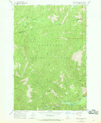
1966 Map of Cayuse Junction
USGS Topo · Published 1969About this map
Clearwater National Forest dominates this mid-1960s landscape, where the Clearwater and Idaho County line bisects a high-elevation wilderness. The map details the intersection of early back-country routes at Cayuse Junction, positioned just above the headwaters of Cayuse Creek and the small alpine Cayuse Lake. This area was primarily defined by its network of trails and ridges rather than permanent settlements, with topography dominated by the Williams Range and significant elevation drops toward the Lochsa River in the south.
Find a feature on this map
29 named features on this map. Tap any name to fly to it.
Don’t see what you’re looking for? This feature index may not catch every label — zoom into the map to look around manually.
Map Details
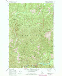
Editions of this 1966 Cayuse Junction Map
2 editions found
Other maps of this area

1911 · Lolo
USGS Topo · 1:250,000

1913 · Lolo
USGS Topo · 1:250,000

1956 · Hamilton
USGS Topo · 1:250,000

1959 · Hamilton
USGS Topo · 1:250,000

1960 · Hamilton
USGS Topo · 1:250,000

1964 · Hamilton
USGS Topo · 1:250,000

1964 · Rocky Point
USGS Topo · 1:24,000
1964 · Granite Pass
USGS Topo · 1:24,000

1966 · Grave Peak
USGS Topo · 1:24,000
1966 · Rhodes Peak
USGS Topo · 1:24,000