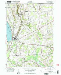
1943 Map of Cazenovia
USGS Topo · Published 1962About this map
Cazenovia Lake anchors the western edge of this 1943 survey, which documents a landscape defined by deep ravines and early Madison County transportation corridors. The village of Cazenovia serves as the primary hub, where the Lehigh Valley Road rail line and the historic Cherry Valley Turnpike intersect. To the north, the dramatic topography around Chittenango Creek is preserved within Chittenango Falls State Park, marking a significant geological feature of the region.
Find a feature on this map
50 named features on this map. Tap any name to fly to it.
Don’t see what you’re looking for? This feature index may not catch every label — zoom into the map to look around manually.
Map Details
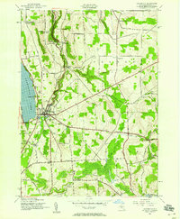
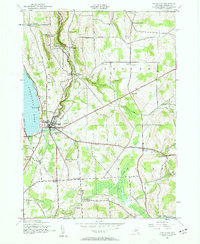
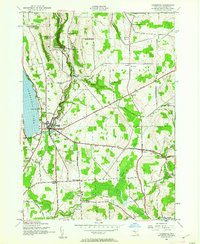
Editions of this 1943 Cazenovia Map
4 editions found
Other maps of this area

1895 · Chittenango
USGS Topo · 1:62,500

1895 · Oneida
USGS Topo · 1:62,500

1897 · Cazenovia
USGS Topo · 1:62,500

1898 · Oneida
USGS Topo · 1:62,500

1898 · Chittenango
USGS Topo · 1:62,500

1899 · Cazenovia
USGS Topo · 1:62,500

1902 · Chittenango
USGS Topo · 1:62,500

1902 · Morrisville
USGS Topo · 1:62,500

1902 · Oneida
USGS Topo · 1:62,500

1939 · Oneida
USGS Topo · 1:62,500