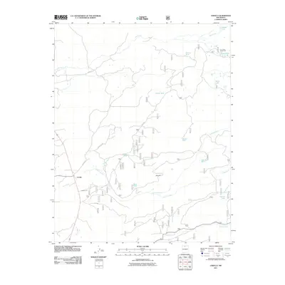
2011 Map of Cebolla
USGS Topo · Published 2011About this map
Cebolla stands as the primary settlement in this northern New Mexico landscape, situated where the high desert terrain meets a complex system of seasonal and perennial watercourses. The area is defined by the drainage of the Rio Nutrias and Rio Cebolla, which feed numerous livestock tanks and natural lakes including Burns Lake and Hidden Lake. Cultural features such as Cebolla Corral and the industrial Duke Pit reflect a land use focused on ranching and resource extraction.
Find a feature on this map
28 named features on this map. Tap any name to fly to it.
Don’t see what you’re looking for? This feature index may not catch every label — zoom into the map to look around manually.
Map Details
Editions of this 2011 Cebolla Map
This is the sole edition of this map. No revisions or reprints were ever made.
Other maps of this area

1909 · Gallina
USGS Topo · 1:125,000

1918 · Abiquiu
USGS Topo · 1:125,000

1918 · Tusas
USGS Topo · 1:125,000

1953 · Alire
USGS Topo · 1:24,000

1953 · Magote Peak
USGS Topo · 1:24,000

1953 · Canjilon
USGS Topo · 1:24,000

1954 · Aztec
USGS Topo · 1:250,000

1955 · Cebolla
USGS Topo · 1:62,500

1955 · Tierra Amarilla
USGS Topo · 1:62,500

1958 · Aztec
USGS Topo · 1:250,000