
1955 Map of Cebolla
USGS Topo · Published 1957About this map
Cebolla stands as a primary settlement in this high-altitude landscape of northern New Mexico, situated along the Rio Cebolla where the mountains meet the plateau. The map details the transition between the Tierra Amarilla Grant and the Carson National Forest, showcasing a terrain defined by deep canyons and prominent peaks like Canjilon Mountain. The presence of San Antonio Ch and a Gravel Pit near the settlement indicates a small but established community infrastructure in the mid-1950s.
Find a feature on this map
53 named features on this map. Tap any name to fly to it.
Don’t see what you’re looking for? This feature index may not catch every label — zoom into the map to look around manually.
Map Details
Editions of this 1955 Cebolla Map
3 editions found
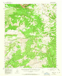
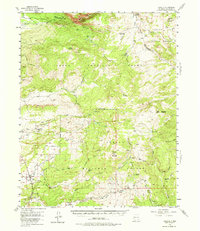
Other maps of this area

1909 · Gallina
USGS Topo · 1:125,000

1918 · Abiquiu
USGS Topo · 1:125,000

1918 · Tusas
USGS Topo · 1:125,000

1953 · Valle Grande Peak
USGS Topo · 1:24,000

1953 · Alire
USGS Topo · 1:24,000

1953 · Magote Peak
USGS Topo · 1:24,000

1953 · Canjilon
USGS Topo · 1:24,000

1954 · Aztec
USGS Topo · 1:250,000

1955 · Chama
USGS Topo · 1:62,500

1955 · Brazos Peak
USGS Topo · 1:62,500