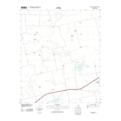
2010 Map of Cedar Bend
USGS Topo · Published 2010About this map
Lake Colorado City and the winding Colorado River dominate this West Texas landscape, where the energy and ranching economies are plainly visible through modern infrastructure and old landmarks. In the northern reaches of this 2010 survey, the Strain Pool Oil Field and various family-named water resources like McGuire Tank and Bullock Tank speak to the region's managed water and mineral assets. The terrain is defined by a series of named drainages including North Fork Canyon, Badgett Canyon, and Moser Canyon, which feed toward the river valley. Local history is anchored by the Handley Cemetery and the settlement of Cedar Bend, while the Colorado City Airport and multiple windmills—such as the Twin Windmill and Good Well Windmill—illustrate the continued utility of the Shinnery Flats for aviation and agriculture.
Find a feature on this map
56 named features on this map. Tap any name to fly to it.
Don’t see what you’re looking for? This feature index may not catch every label — zoom into the map to look around manually.
Map Details
Editions of this 2010 Cedar Bend Map
This is the sole edition of this map. No revisions or reprints were ever made.
Other maps of this area

1950 · Cedar Bend
USGS Topo · 1:24,000

1950 · Lake Colorado City
USGS Topo · 1:24,000

1950 · Colorado City SE
USGS Topo · 1:24,000

1951 · Ira
USGS Topo · 1:24,000

1951 · Dunn
USGS Topo · 1:24,000

1952 · Cuthbert
USGS Topo · 1:24,000

1952 · Westbrook
USGS Topo · 1:24,000

1952 · China Grove
USGS Topo · 1:24,000

1952 · Colorado City
USGS Topo · 1:24,000

1954 · Big Spring
USGS Topo · 1:250,000