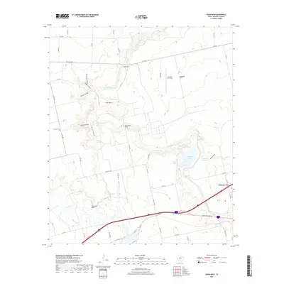
2019 Map of Cedar Bend
USGS Topo · Published 2019About this map
The Colorado River carves a deep, winding path through Mitchell County, shaping the local geography from Low Bridge to the Cedar Bend Bridge. This area, characterized by its dramatic canyon systems like Badgett Canyon and McGuire Canyon, shows a landscape defined by water management and ranching infrastructure. Numerous catchment basins, including Wheat Pasture Tank and Logsdon Reservoir, are scattered across the terrain to support agriculture and livestock in this semi-arid region.
Find a feature on this map
60 named features on this map. Tap any name to fly to it.
Don’t see what you’re looking for? This feature index may not catch every label — zoom into the map to look around manually.
Map Details
Editions of this 2019 Cedar Bend Map
This is the sole edition of this map. No revisions or reprints were ever made.
Other maps of this area

1950 · Cedar Bend
USGS Topo · 1:24,000

1950 · Lake Colorado City
USGS Topo · 1:24,000

1950 · Colorado City SE
USGS Topo · 1:24,000

1951 · Ira
USGS Topo · 1:24,000

1951 · Dunn
USGS Topo · 1:24,000

1952 · Cuthbert
USGS Topo · 1:24,000

1952 · Westbrook
USGS Topo · 1:24,000

1952 · China Grove
USGS Topo · 1:24,000

1952 · Colorado City
USGS Topo · 1:24,000

1954 · Big Spring
USGS Topo · 1:250,000