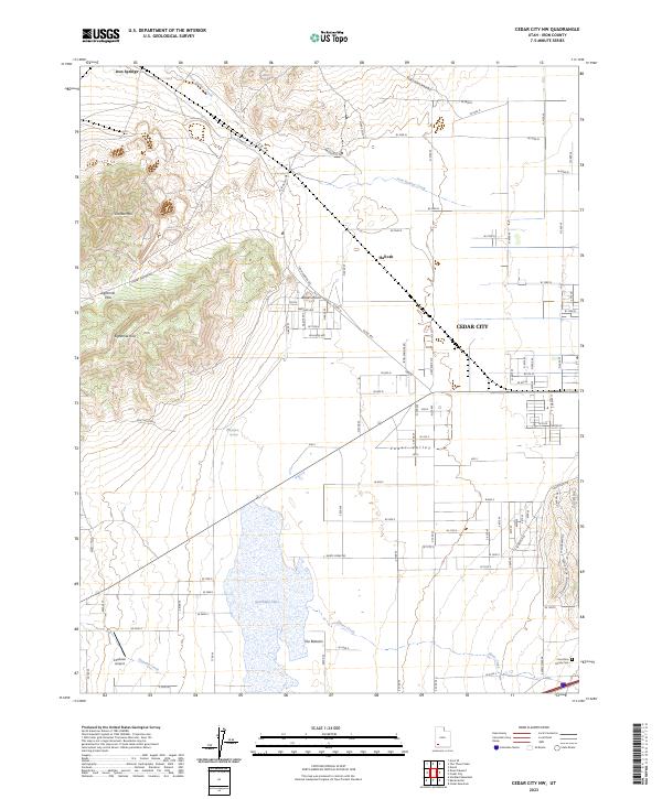
2023 Map of Cedar City NW
USGS Topo · Published 2023About this map
Cedar City expands westward into the wide expanse of Cedar Valley in this contemporary overview of Iron County’s interior. The landscape is defined by the transition from the residential street grids of the city to the alluvial flats of The Bottoms, where Quichapa Lake serves as a significant drainage point for seasonal flows from Shirts Creek and Duncan Creek. To the northwest, the terrain rises sharply into the Eightmile Hills and toward Granite Mtn, marking the geological transition into the Iron Springs mining district.
Find a feature on this map
29 named features on this map. Tap any name to fly to it.
Don’t see what you’re looking for? This feature index may not catch every label — zoom into the map to look around manually.
Map Details
Editions of this 2023 Cedar City NW Map
This is the sole edition of this map. No revisions or reprints were ever made.
Other maps of this area

1885 · St. George
USGS Topo · 1:250,000

1891 · St. George
USGS Topo · 1:250,000

1949 · Cedar City NW
USGS Topo · 1:24,000

1950 · Cedar City NW
USGS Topo · 1:24,000

1950 · Kanarraville
USGS Topo · 1:24,000

1950 · Enoch
USGS Topo · 1:24,000

1950 · Cedar City
USGS Topo · 1:24,000

1950 · Enoch
USGS Topo · 1:62,500

1950 · Iron Mountain
USGS Topo · 1:62,500

1950 · Cedar City
USGS Topo · 1:62,500