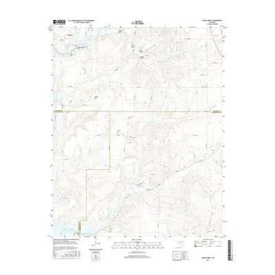
2016 Map of Cedar Crest
USGS Topo · Published 2016About this map
Murphy and Cedar Crest anchor this section of Oklahoma’s Green Country, situated where the northern Ozark foothills meet the prairies of the Cherokee Nation. The landscape is defined by its deep relief and complex drainage, with Spring Creek feeding into Cedar Crest Lake and the broader expanse of Fort Gibson Lake appearing along the southwestern margin.
Find a feature on this map
64 named features on this map. Tap any name to fly to it.
Don’t see what you’re looking for? This feature index may not catch every label — zoom into the map to look around manually.
Map Details
Editions of this 2016 Cedar Crest Map
This is the sole edition of this map. No revisions or reprints were ever made.
Other maps of this area

1896 · Pryor
USGS Topo · 1:125,000

1901 · Muscogee
USGS Topo · 1:125,000

1901 · Pryor
USGS Topo · 1:125,000

1905 · Muscogee
USGS Topo · 1:125,000

1946 · Fort Smith
USGS Topo · 1:250,000

1948 · Hulbert
USGS Topo · 1:62,500

1948 · Wagoner
USGS Topo · 1:62,500

1950 · Wagoner
USGS Topo · 1:62,500

1950 · Hulbert
USGS Topo · 1:62,500

1954 · Tulsa
USGS Topo · 1:250,000