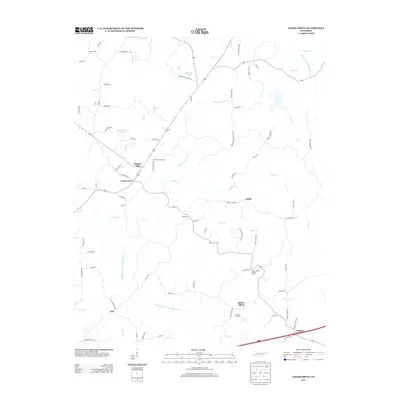
2013 Map of Cedar Grove
USGS Topo · Published 2013About this map
The Middle Fork Forked Deer River and its numerous tributaries, including Griffin Cr and Moss Cr, define the drainage patterns of this Carroll County landscape. In the early 21st century, the area maintained a distinct rural character centered around small communities like Cedar Grove and Hickory Flat. This map reveals a network of local roads bearing family and community names such as Ferguson Cemetery Rd and Morning Sun Cemetery Rd, which are invaluable for genealogical research and locating historical homesteads. Notable landmarks include the Mount Gilead Lookout Tower and smaller settlements like Smith and Law. The presence of McHayneys Mill Cr and Stanford Farms suggests a landscape shaped by long-standing agricultural and milling traditions, while the Rutherford Fork Obion River clips the northeastern corner, marking the watershed boundary.
Find a feature on this map
83 named features on this map. Tap any name to fly to it.
Don’t see what you’re looking for? This feature index may not catch every label — zoom into the map to look around manually.
Map Details
Editions of this 2013 Cedar Grove Map
This is the sole edition of this map. No revisions or reprints were ever made.
Other maps of this area

1936 · Clarksburg
USGS Topo · 1:24,000

1936 · Lexington
USGS Topo · 1:24,000

1936 · Center Ridge
USGS Topo · 1:24,000

1950 · Palmer Shelter
USGS Topo · 1:24,000

1950 · Lexington
USGS Topo · 1:24,000

1950 · Clarksburg
USGS Topo · 1:24,000

1953 · Claybrook
USGS Topo · 1:24,000

1955 · Juno
USGS Topo · 1:24,000

1956 · Blytheville
USGS Topo · 1:250,000

1959 · Blytheville
USGS Topo · 1:250,000