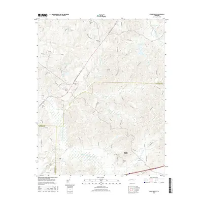
2016 Map of Cedar Grove
USGS Topo · Published 2016About this map
Cedar Grove sits as a primary settlement in this West Tennessee landscape, where the headwaters of several significant drainage systems meet. The topography is defined by the winding paths of the Middle Fork Forked Deer River and the Rutherford Fork Obion River, which carve through the terrain and create the wet, low-lying bottomlands seen near Law. Numerous small family and community burial grounds, such as Spain Cem and Oak Grove Cem, are scattered throughout the countryside, often located at the intersection of local roads like Sulphur Springs Rd and Hickory Flat Rd.
Find a feature on this map
86 named features on this map. Tap any name to fly to it.
Don’t see what you’re looking for? This feature index may not catch every label — zoom into the map to look around manually.
Map Details
Editions of this 2016 Cedar Grove Map
This is the sole edition of this map. No revisions or reprints were ever made.
Other maps of this area

1936 · Clarksburg
USGS Topo · 1:24,000

1936 · Lexington
USGS Topo · 1:24,000

1936 · Center Ridge
USGS Topo · 1:24,000

1950 · Palmer Shelter
USGS Topo · 1:24,000

1950 · Lexington
USGS Topo · 1:24,000

1950 · Clarksburg
USGS Topo · 1:24,000

1953 · Claybrook
USGS Topo · 1:24,000

1955 · Juno
USGS Topo · 1:24,000

1956 · Blytheville
USGS Topo · 1:250,000

1959 · Blytheville
USGS Topo · 1:250,000