
1913 Map of Cedar Lake
USGS Topo · Published 1913About this map
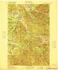
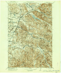
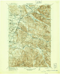
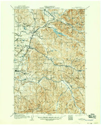
The Snoqualmie National Forest and Rainier National Forest dominate this 1913 study, capturing the intersection of industrial expansion and the Cascades wilderness. Early hydropower and resource extraction are evident at the Cedar Falls Power Plant and the nearby New Dam Site on the Cedar River. The map details a landscape transition where timber and mining settlements like Kerriston, Selleck, and Franklin were connected to the coast by the Chicago Milwaukee and St Paul Railway and the Northern Pacific Railway.
Find a feature on this map
90 named features on this map. Tap any name to fly to it.
Don’t see what you’re looking for? This feature index may not catch every label — zoom into the map to look around manually.
Map Details
Editions of this 1913 Cedar Lake Map
5 editions found
Other maps of this area

1895 · Snohomish
USGS Topo · 1:125,000

1897 · Tacoma
USGS Topo · 1:125,000

1897 · Seattle
USGS Topo · 1:125,000

1900 · Tacoma
USGS Topo · 1:125,000

1901 · Snoqualmie Pass
USGS Topo · 1:125,000

1902 · Mount Aix
USGS Topo · 1:125,000

1902 · Skykomish
USGS Topo · 1:125,000

1903 · Snoqualmie
USGS Topo · 1:125,000

1904 · Mt Aix
USGS Topo · 1:125,000

1905 · Skykomish
USGS Topo · 1:125,000