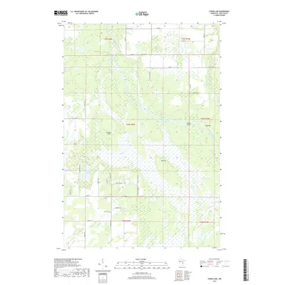
2019 Map of Cedar Lake
USGS Topo · Published 2019About this map
The Kettle River defines the central topography of this Pine County landscape, winding southward through a complex network of wetlands and riverine features. Notable water-driven landmarks include the Big Eddy and the winding Hords Slough Kettle River, which create a distinct riparian environment punctuated by Maple Island and Blueberry Island. The area is characterized by low-lying marshlands and several small tributaries, such as Cedar Cr and Redhorse Cr, that feed into the primary river system.
Find a feature on this map
46 named features on this map. Tap any name to fly to it.
Don’t see what you’re looking for? This feature index may not catch every label — zoom into the map to look around manually.
Map Details
Editions of this 2019 Cedar Lake Map
This is the sole edition of this map. No revisions or reprints were ever made.
Other maps of this area
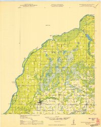
1950 · Grantsburg
USGS Topo · 1:48,000

1953 · Duluth
USGS Topo · 1:250,000

1953 · Stillwater
USGS Topo · 1:250,000

1955 · Stillwater
USGS Topo · 1:250,000

1958 · Stillwater
USGS Topo · 1:250,000

1958 · Duluth
USGS Topo · 1:250,000
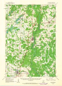
1961 · Sandstone
USGS Topo · 1:62,500
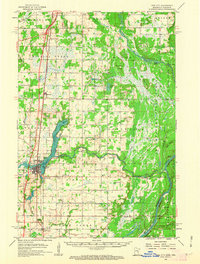
1961 · Pine City
USGS Topo · 1:62,500
1962 · Cloverdale
USGS Topo · 1:62,500
1962 · Grantsburg
USGS Topo · 1:62,500