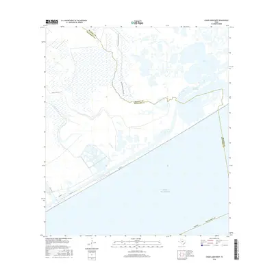
2016 Map of Cedar Lakes West
USGS Topo · Published 2016About this map
San Bernard Wildlife Refuge dominates this coastal landscape along the Matagorda and Brazoria county line. The map highlights the complex network of salt marshes and brackish water bodies, including Cowtrap Lake and the Cedar Lakes, which are separated from the Gulf of Mexico by a narrow barrier of sand and marshland. The Intracoastal Waterway cuts through the upper portion of the lakes, facilitating maritime transit while marking the boundary of the protected refuge lands.
Find a feature on this map
15 named features on this map. Tap any name to fly to it.
Don’t see what you’re looking for? This feature index may not catch every label — zoom into the map to look around manually.
Map Details
Editions of this 2016 Cedar Lakes West Map
This is the sole edition of this map. No revisions or reprints were ever made.
Other maps of this area
1943 · Jones Creek
USGS Topo · 1:31,680
1943 · Cedar Lakes East
USGS Topo · 1:24,000
1951 · Bay City
USGS Topo · 1:250,000
1952 · Cedar Lane NE
USGS Topo · 1:24,000
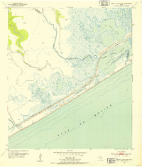
1952 · Cedar Lakes West
USGS Topo · 1:24,000
1952 · Brown Cedar Cut
USGS Topo · 1:24,000
1952 · Cedar Lane
USGS Topo · 1:24,000
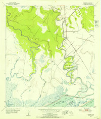
1952 · Sargent
USGS Topo · 1:24,000
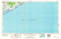
1956 · Bay City
USGS Topo · 1:250,000
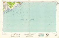
1958 · Bay City
USGS Topo · 1:250,000