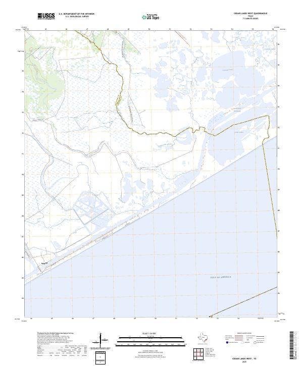
2025 Map of Cedar Lakes West
USGS Topo · Published 2025About this map
San Bernard Wildlife Refuge dominates this coastal landscape, protecting a complex network of marshes and tidal flats where Matagorda and Brazoria counties meet. The area is defined by its low-lying hydrology, centered around the sprawling waters of Cedar Lakes and Cowtrap Lake. These lagoons are bisected by the Intracoastal Waterway, a critical piece of maritime infrastructure that facilitates industrial transit through the otherwise undeveloped wetlands. The small settlement of Sargent serves as the primary gateway to the coast, situated near the junction of FM 457 Hwy and several rural roads like Gulfview Rd and Co Rd 230. Navigation through the interior is limited to waterways like Cedar Lake Creek and Salt Bayou, or the specialized Cow Trap Marsh Trl, reflecting a terrain shaped by the constant ebb and flow of the Gulf of America.
Find a feature on this map
18 named features on this map. Tap any name to fly to it.
Don’t see what you’re looking for? This feature index may not catch every label — zoom into the map to look around manually.
Map Details
Editions of this 2025 Cedar Lakes West Map
This is the sole edition of this map. No revisions or reprints were ever made.
Other maps of this area

1943 · Jones Creek
USGS Topo · 1:31,680

1943 · Cedar Lakes East
USGS Topo · 1:24,000

1951 · Bay City
USGS Topo · 1:250,000

1952 · Cedar Lane NE
USGS Topo · 1:24,000

1952 · Cedar Lakes West
USGS Topo · 1:24,000
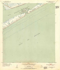
1952 · Brown Cedar Cut
USGS Topo · 1:24,000

1952 · Cedar Lane
USGS Topo · 1:24,000

1952 · Sargent
USGS Topo · 1:24,000

1956 · Bay City
USGS Topo · 1:250,000

1958 · Bay City
USGS Topo · 1:250,000