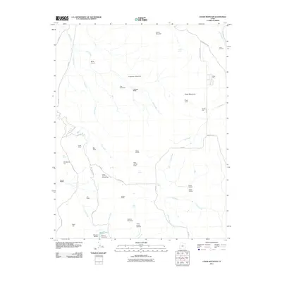
2011 Map of Cedar Mountain
USGS Topo · Published 2011About this map
Kanarra Mountain and the high plateaus of Iron County define this high-altitude landscape, where land use shifts between industrial extraction and water management. Evidence of the region's mining history is anchored by the Tucker Coal Mine near Right Hand Creek in the northeast, while the local infrastructure includes the Cedar City Corp Storage Dam and Meadow Hollow Dam. The terrain is marked by distinctive geological formations like The Pyramids and Sugarloaf Mountain, overlooking valleys such as Cabbage Valley and Blue Valley. These natural features, alongside numerous springs like Co-op Spring and Day Spring, reveal a landscape shaped by both the search for resources and the critical need for water storage in the high desert.
Find a feature on this map
51 named features on this map. Tap any name to fly to it.
Don’t see what you’re looking for? This feature index may not catch every label — zoom into the map to look around manually.
Map Details
Editions of this 2011 Cedar Mountain Map
This is the sole edition of this map. No revisions or reprints were ever made.
Other maps of this area

1885 · St. George
USGS Topo · 1:250,000

1886 · Kanab
USGS Topo · 1:250,000

1891 · St. George
USGS Topo · 1:250,000

1949 · Cedar City NW
USGS Topo · 1:24,000

1950 · Cedar City NW
USGS Topo · 1:24,000

1950 · Kanarraville
USGS Topo · 1:24,000

1950 · Cedar City
USGS Topo · 1:24,000

1950 · Cedar City
USGS Topo · 1:62,500

1950 · Cedar Mountain
USGS Topo · 1:24,000

1951 · Kanarraville
USGS Topo · 1:24,000