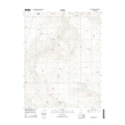
2014 Map of Cedar Mountain
USGS Topo · Published 2014About this map
Hurricane Cliffs and the elevated plateau of Cedar Mountain define the high-elevation landscape southeast of Cedar City. This 2014 survey captures a region of complex topography where drainage systems like Shirts Cr and Murie Cr have carved deep canyons and hollows through the rock. The map illustrates the careful management of water in this arid environment, featuring the Cedar City Corp Storage Reservoir and the Meadow Hollow Reservoir at the southern edge of the sheet. Distinctive formations such as The Pyramids, Sugarloaf Mtn, and Three Knolls Summit provide fixed landmarks across the varied terrain. Settlement is sparse, with human presence marked primarily by the winding course of Kolob Rd and localized grazing areas like Co-op Flat and Long Flat. The presence of numerous named springs, including Pine Spring and Day Spring, underscores the critical nature of water sources for both local livestock and historical land use patterns.
Find a feature on this map
54 named features on this map. Tap any name to fly to it.
Don’t see what you’re looking for? This feature index may not catch every label — zoom into the map to look around manually.
Map Details
Editions of this 2014 Cedar Mountain Map
This is the sole edition of this map. No revisions or reprints were ever made.
Other maps of this area

1885 · St. George
USGS Topo · 1:250,000

1886 · Kanab
USGS Topo · 1:250,000

1891 · St. George
USGS Topo · 1:250,000

1949 · Cedar City NW
USGS Topo · 1:24,000

1950 · Cedar City NW
USGS Topo · 1:24,000

1950 · Kanarraville
USGS Topo · 1:24,000

1950 · Cedar City
USGS Topo · 1:24,000

1950 · Cedar City
USGS Topo · 1:62,500

1950 · Cedar Mountain
USGS Topo · 1:24,000

1951 · Kanarraville
USGS Topo · 1:24,000