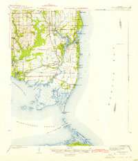
1943 Map of Cedar Point
USGS Topo · Published 1943About this map
The coastal landscapes of Mobile County are captured here just before the mid-century, following surveys by J.A. Newman and C.H. Parker for the War Department. The map reveals the intricate network of tidal waterways and settlements along Mobile Bay and the Mississippi Sound, including the fishing village of Bayou La Batre and the community of Mon Louis. A significant indicator of changing transportation patterns is the G M and O railroad line, marked as abandoned as it runs toward the coast. Along the southern edge, the map details the barrier island geography of Dauphin Island and Little Dauphin Island, separated from the mainland by the Pass aux Herons. Smaller settlements like Alabama Port and Bellefontaine line the Cedar Point Road, while numerous bayous such as Bayou Jonas and Bayou Coden cut through the marshy lowlands.
Find a feature on this map
57 named features on this map. Tap any name to fly to it.
Don’t see what you’re looking for? This feature index may not catch every label — zoom into the map to look around manually.
Map Details
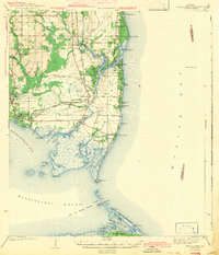
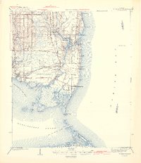
Editions of this 1943 Cedar Point Map
4 editions found

Other maps of this area

1921 · Grand Bay
USGS Topo · 1:62,500

1921 · Petit Bois Island
USGS Topo · 1:62,500

1921 · Point Clear
USGS Topo · 1:62,500

1921 · Fairhope
USGS Topo · 1:62,500

1921 · Dauphin Island
USGS Topo · 1:62,500

1921 · Delchamps
USGS Topo · 1:62,500

1922 · Mobile
USGS Topo · 1:62,500

1939 · Daphne
USGS Topo · 1:31,680

1940 · Hollingers Island
USGS Topo · 1:31,680

1940 · Mobile
USGS Topo · 1:62,500