
1943 Map of Cedar Point
USGS Topo · Published 1943About this map
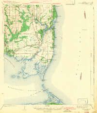
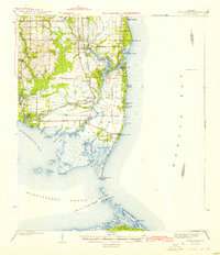
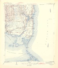
Mon Louis Island and the coastal fishing communities of Mobile Bay are shown here as they appeared during the early 1940s. The landscape is defined by the transition from the piney woods of southern Mobile County to the tidal marshes of Mississippi Sound. Near the town of Bayou La Batre, the rail infrastructure shows signs of change with the G M and O (Abandoned) line, indicating shifting transportation patterns in the seafood-processing hubs of Coden and Heron Bay. To the south, the map details the barrier island geography around Dauphin Island and Little Dauphin Island, connected to the mainland via Grants Pass and Pass aux Herons. Navigational landmarks like the Mobile Bay LH and coastal points such as Cedar Point and Fowl River Pt emphasize the maritime economy of this Gulf Coast region before modern development.
Find a feature on this map
56 named features on this map. Tap any name to fly to it.
Don’t see what you’re looking for? This feature index may not catch every label — zoom into the map to look around manually.
Map Details
Editions of this 1943 Cedar Point Map
4 editions found
Other maps of this area

1921 · Grand Bay
USGS Topo · 1:62,500

1921 · Petit Bois Island
USGS Topo · 1:62,500

1921 · Point Clear
USGS Topo · 1:62,500

1921 · Fairhope
USGS Topo · 1:62,500

1921 · Dauphin Island
USGS Topo · 1:62,500

1921 · Delchamps
USGS Topo · 1:62,500

1922 · Mobile
USGS Topo · 1:62,500

1939 · Daphne
USGS Topo · 1:31,680

1940 · Hollingers Island
USGS Topo · 1:31,680

1940 · Mobile
USGS Topo · 1:62,500