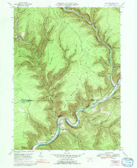
1946 Map of Cedar Run
USGS Topo · Published 1992About this map
Pine Creek Gorge dominates this landscape, cutting a deep, winding path through the borderlands of Elk, Morris, and Brown townships. The Penn Central rail line follows the narrow river bench, connecting the small riverside settlements of Blackwell and Cedar Run. This 1940s topography shows a region defined by steep, timbered slopes and dozens of sharp, narrow hollows like Spook Hollow and Ruby Hollow.
Find a feature on this map
73 named features on this map. Tap any name to fly to it.
Don’t see what you’re looking for? This feature index may not catch every label — zoom into the map to look around manually.
Map Details
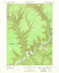
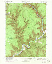
Editions of this 1946 Cedar Run Map
4 editions found
Other maps of this area

1937 · Waterville
USGS Topo · 1:48,000

1943 · Hyner
USGS Topo · 1:62,500

1943 · Waterville
USGS Topo · 1:62,500

1946 · Tiadaghton
USGS Topo · 1:24,000

1946 · Antrim
USGS Topo · 1:62,500

1946 · Renovo East
USGS Topo · 1:62,500

1946 · Cedar Run
USGS Topo · 1:24,000

1946 · Slate Run
USGS Topo · 1:24,000

1946 · Antrim
USGS Topo · 1:24,000

1946 · Morris
USGS Topo · 1:24,000
Featured Places
- Morris Township, PA
- Brown Township, PA
- Cedar Run, Brown Township
- Elk Township, PA
- Cedar Pines, Brown Township