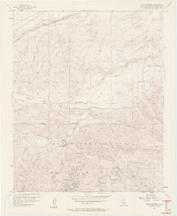
1956 Map of Cedar Springs
USGS Topo · Published 1961About this map
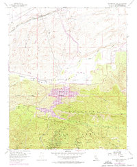
The San Bernardino National Forest dominates the southern half of this mid-century landscape, where high-altitude geography transitions into the Summit Valley. A dense network of mountain camps and community landmarks is visible near the southern edge, including the YMCA Camp, Camp Seeley, and the unique Pillars of God open-air theater. These recreational and spiritual retreats are situated near Jobs Peak and Seeley Flat, served by a winding system of firebreaks and jeep trails.
Find a feature on this map
41 named features on this map. Tap any name to fly to it.
Don’t see what you’re looking for? This feature index may not catch every label — zoom into the map to look around manually.
Map Details
Editions of this 1956 Cedar Springs Map
7 editions found
Other maps of this area

1896 · San Bernardino
USGS Topo · 1:62,500

1898 · San Bernardino
USGS Topo · 1:62,500

1899 · Redlands
USGS Topo · 1:62,500

1901 · Southern California Sheet No. 1
USGS Topo · 1:250,000

1901 · San Bernardino
USGS Topo · 1:62,500

1901 · Redlands
USGS Topo · 1:62,500

1902 · Deep Creek
USGS Topo · 1:62,500

1902 · Hesperia
USGS Topo · 1:62,500

1904 · Southern California Sheet No. 1
USGS Topo · 1:250,000

1936 · Devore
USGS Topo · 1:31,680