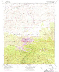
1956 Map of Silverwood Lake
USGS Topo · Published 1975About this map
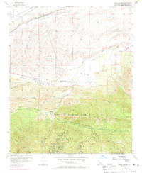
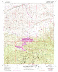
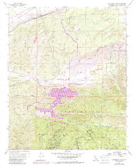
Silverwood Lake and the high desert transition of the San Bernardino National Forest define this landscape during a period of significant water infrastructure development. Revisions from 1968 and 1973 highlight the introduction of the California Aqueduct cutting through the Antelope Valley and Summit Valley. This intersection of civil engineering and mountain terrain is anchored by long-standing local landmarks like the Las Flores Ranch and Las Flores School.
Find a feature on this map
44 named features on this map. Tap any name to fly to it.
Don’t see what you’re looking for? This feature index may not catch every label — zoom into the map to look around manually.
Map Details
Editions of this 1956 Silverwood Lake Map
7 editions found
Other maps of this area

1896 · San Bernardino
USGS Topo · 1:62,500

1898 · San Bernardino
USGS Topo · 1:62,500

1899 · Redlands
USGS Topo · 1:62,500

1901 · Southern California Sheet No. 1
USGS Topo · 1:250,000

1901 · San Bernardino
USGS Topo · 1:62,500

1901 · Redlands
USGS Topo · 1:62,500

1902 · Deep Creek
USGS Topo · 1:62,500

1902 · Hesperia
USGS Topo · 1:62,500

1904 · Southern California Sheet No. 1
USGS Topo · 1:250,000

1936 · Devore
USGS Topo · 1:31,680