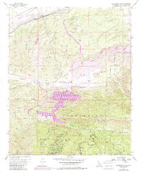
1956 Map of Silverwood Lake
USGS Topo · Published 1988About this map
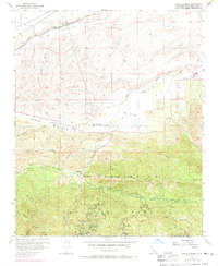
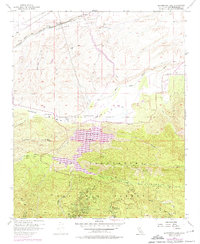
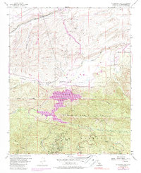
Silverwood Lake serves as a focal point for this landscape, which spans the transition from the high desert of the Antelope Valley into the northern reaches of the San Bernardino National Forest. The map documents a complex infrastructure of water and transportation, featuring the California Aqueduquct and the At&Sf Rr tracks passing through Lugo. Settled pockets and recreational sites are scattered throughout the rugged terrain, including the historic Las Flores Ranch and Las Flores School in the Summit Valley area. To the south, the forest elevations harbor specialized locales like the Pillars of God (Open Air Theater), Camp Seeley, and the settlement at Cedarpines Park. This 1956 survey, updated with 1980s data, captures the region after the establishment of the Silverwood Lake State Recreation Area, illustrating the intersection of industrial water management and public mountain retreats.
Find a feature on this map
47 named features on this map. Tap any name to fly to it.
Don’t see what you’re looking for? This feature index may not catch every label — zoom into the map to look around manually.
Map Details
Editions of this 1956 Silverwood Lake Map
7 editions found
Other maps of this area

1896 · San Bernardino
USGS Topo · 1:62,500

1898 · San Bernardino
USGS Topo · 1:62,500

1899 · Redlands
USGS Topo · 1:62,500

1901 · Southern California Sheet No. 1
USGS Topo · 1:250,000

1901 · San Bernardino
USGS Topo · 1:62,500

1901 · Redlands
USGS Topo · 1:62,500

1902 · Deep Creek
USGS Topo · 1:62,500

1902 · Hesperia
USGS Topo · 1:62,500

1904 · Southern California Sheet No. 1
USGS Topo · 1:250,000

1936 · Devore
USGS Topo · 1:31,680