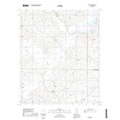
2018 Map of Cedarton
USGS Topo · Published 2018About this map
Mineral Springs and Cedarton serve as the primary landmarks in this 2018 study of the north-central Louisiana countryside. The landscape is defined by the winding course of the Middle Fork Bayou D'Arbonne, which feeds into the larger Bayou D'Arbonne Lake in the northeastern corner of the map. This area, straddling the border of Union Parish and Lincoln Parish, maintains a rural character dominated by timberlands and a dense network of local creeks.
Find a feature on this map
77 named features on this map. Tap any name to fly to it.
Don’t see what you’re looking for? This feature index may not catch every label — zoom into the map to look around manually.
Map Details
Editions of this 2018 Cedarton Map
This is the sole edition of this map. No revisions or reprints were ever made.
Other maps of this area

1950 · Ruston
USGS Topo · 1:62,500

1951 · Ruston
USGS Topo · 1:62,500

1951 · Bernice
USGS Topo · 1:62,500

1952 · Calhoun
USGS Topo · 1:62,500

1952 · Farmerville
USGS Topo · 1:62,500

1955 · Shreveport
USGS Topo · 1:250,000

1956 · Shreveport
USGS Topo · 1:250,000
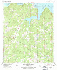
1982 · Downsville North
USGS Topo · 1:24,000
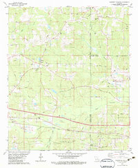
1982 · Downsville South
USGS Topo · 1:24,000

1984 · Shreveport
USGS Topo · 1:250,000