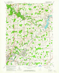
1963 Map of Cedarville
USGS Topo · Published 1965About this map
Cedar Creek and the St Joseph River dominate this mid-century landscape of Allen County, converging at the town of Cedarville. The early 1960s show a region transitioning from traditional rural farmsteads to suburban residential developments like Brookside Estates and Sunnybrook Acres on the northern outskirts of Fort Wayne. Religious and educational institutions are densely represented, including the Concordia Senior College campus and the Crosier House of Studies, alongside local landmarks like the Izaak Walton League and Camp McMillan. The Cedarville Reservoir and its associated Spillway provide a clear view of the water management infrastructure that shaped local development. Genealogists will find value in the various family-named sites, such as the Schlatter Cemetery and Robinson Chapel, which stand alongside long-established schools like the Shambaugh School.
Find a feature on this map
82 named features on this map. Tap any name to fly to it.
Don’t see what you’re looking for? This feature index may not catch every label — zoom into the map to look around manually.
Map Details
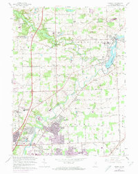
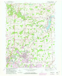
Editions of this 1963 Cedarville Map
3 editions found
Other maps of this area

1953 · Fort Wayne
USGS Topo · 1:250,000

1956 · Fort Wayne
USGS Topo · 1:250,000

1956 · Fort Wayne West
USGS Topo · 1:24,000

1956 · Fort Wayne East
USGS Topo · 1:24,000

1956 · Cedarville
USGS Topo · 1:24,000

1957 · Auburn
USGS Topo · 1:24,000

1957 · Maples
USGS Topo · 1:24,000

1957 · Huntertown
USGS Topo · 1:24,000

1957 · Garrett
USGS Topo · 1:24,000

1958 · Grabill
USGS Topo · 1:24,000